
On October 25, 1995, a Metra commuter train struck a stopped school bus in Fox River Grove, Illinois. Seven students died. Twenty-four more were injured. The NTSB's investigation found something sobering: the crash wasn't just about split-second driver reaction. It involved road design, signal timing, and — critically — a failure by school officials to identify and communicate a known route hazard to drivers.
That's the core problem hazard mapping solves. Driver instinct isn't enough. Districts need a systematic process for finding, documenting, and communicating danger points before a bus ever reaches them.
This guide covers what hazard mapping actually is, how districts build a program step-by-step, where GPS and routing technology fit in, and how hazardous-route designations tie into legal and funding requirements.
Key Takeaways
- Unites fixed hazards (rail crossings, blind curves) and non-fixed ones (weather, construction) in one safety plan
- NASDPTS calls for hazard checklists, scheduled onsite reviews, and clear driver communication
- GPS and routing platforms let districts log hazards centrally instead of paper files
- Legally "hazardous" walking routes can unlock bus service and funding for students who walk
What Is Hazard Mapping in School Transportation?
Hazard mapping is the process of identifying, documenting, and communicating physical and environmental risks along bus routes and at stops. Teams maintain it as an ongoing system and update maps as conditions change.
Transportation officials generally sort risks into two buckets:
- Fixed hazards — railroad crossings, bridges, dangerous intersections, steep grades, blind curves
- Non-fixed hazards — weather events, downed trees, temporary construction, seasonal visibility issues
Officials also track hazards by where they occur:
- En-route driving hazards — anything a driver encounters while moving through the route
- Loading-zone hazards — narrow streets, missing sidewalks, poor lighting at pickup and drop-off points
Why Stop-Level Hazards Deserve Their Own Category
Stops are where students are most exposed. The 2026 NASDPTS survey found that 101,334 drivers across 39 states and D.C. reported 56,024 illegal stop-arm passes in a single day.
Projected nationally, that's more than 213,800 illegal passes per day, or over 38 million across a 180-day school year. Illegal stop-arm passes are a daily reality at thousands of stops, which is why loading zones need their own line item in a hazard map.
Why Hazard Mapping Matters for Districts
The Fox River Grove collision wasn't caused by one person's mistake. The NTSB's 1996 report and a subsequent 2002 safety-recommendation letter both pointed to a system failure: no formal process existed to identify the crossing's risk and pass that knowledge to drivers, including substitutes.
That last detail matters. Substitute drivers are especially at risk in hazard-related incidents simply because they don't have years of muscle memory on a route. For a substitute, a documented hazard map is often the only briefing they get before an unfamiliar rail crossing, blind curve, or narrow loading zone.
Building a Hazard Mapping Program: Step-by-Step
Treat hazard mapping as a recurring loop. A spreadsheet filled out once in August will not keep routes safe.
- Conduct a baseline audit. Catalog every visible fixed hazard on every route and stop using a standardized checklist.
- Schedule onsite reviews. Don't wait for an incident. Review seasonally and after any major traffic or infrastructure change. NTSB guidance recommends reviews at least annually and whenever a new hazard is identified.
- Build two-way reporting. Give drivers a simple way to flag new or changing hazards immediately, through daily logs or weekly activity reports.
- Loop in outside agencies. Local police, state DOT offices, and emergency operations centers should validate high-risk locations, not just transportation staff.
- Communicate hazards clearly. Use driver newsletters, in-service training, and route-specific briefings, with extra attention paid to substitutes.
- Digitize the map. A centralized, accessible hazard map beats a binder in the transportation office every time.

Ohio has already codified this cadence. Its Administrative Code now requires audits of routes, stops, and pickup/drop-off sites not less than annually, effective July 1, 2025. That shift signals that "annual plus event-triggered" reviews are becoming the operational baseline nationwide.
How GPS and Routing Technology Modernizes Hazard Mapping
Paper logs and static maps have an obvious weakness: they go stale the moment something changes. A construction detour that popped up on Tuesday doesn't show up on a map printed in September.
GPS-integrated routing platforms close that gap. Dispatchers and transportation directors can see live vehicle positions relative to known risk zones and adjust routing before a problem becomes an incident, rather than after.
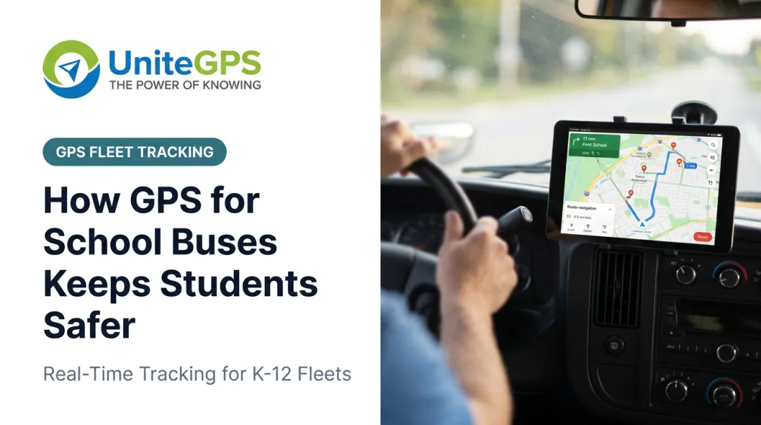
UniteGPS's Crosswalk platform shows how this works in practice. Its Tablet Suite gives drivers on-board navigation that includes:
- Full travel path and stop order
- Student information at each stop
- Audible turn-by-turn directions for substitutes on unfamiliar streets
Crosswalk's district-mapping tools also let administrators map student residences, schools, and transportation-zone boundaries geographically. That same layer supports the planning work hazard mapping depends on.

The bigger shift is reducing reliance on any single driver's memory. Fox River Grove happened, in part, because knowledge of a dangerous crossing didn't reach the people driving through it. A live, shared digital record, instead of one driver's institutional knowledge, is the structural fix.
A 2026 industry survey found nearly all districts surveyed were using or planning to use routing software, with 41% already using student ridership tracking. Adoption of these tools is quickly becoming standard practice, not a competitive edge.
The School Bus Danger Zone and Stop-Level Hazards
Hazard mapping covers roads and rail crossings, but some of the highest-risk ground is the pavement immediately around the bus itself.
NHTSA defines the danger zone as the 10-foot perimeter on all sides of a stopped school bus: the area where driver visibility is lowest and injury risk is highest.
Student safety habits that matter most in this zone:
- Stay back until the bus comes to a complete stop
- Make eye contact with the driver before approaching
- Never walk behind the bus or approach from a blind angle
- Wait for the driver's hand signal before crossing

Illuminated stop arms and stop-arm cameras don't replace hazard mapping, but they reinforce it by capturing violations at the exact stops your mapping process already flags as high-risk.
As of mid-2025, Nevada became the 26th state to authorize school districts to use stop-arm cameras, a trend that has expanded steadily over the past several years.
When a Walking Route Is Legally "Hazardous"
Distance from school isn't the only factor that determines bus eligibility. Most states also allow a hazardous walking route exception, even for students who technically live within standard walking distance.
Qualifying hazards typically include:
- Crossing a freeway or multi-lane highway
- Crossing active rail lines
- Walking through documented high-crime areas without safe alternatives
The process generally follows a pattern:
- A family or district submits a hazardous-route request
- The district documents the specific hazard geographically
- The school board reviews the record and votes on approval
States handle this differently:
- Texas: Districts can seek extra transportation funding (up to 10% of the regular allotment) for students within two miles who face hazardous traffic conditions
- Illinois: Free transportation is allowed within 1.5 miles when a route is a "serious hazard" from traffic or rail crossings, with annual school-board review

Hazard mapping and hazardous-route funding are directly connected. A documented, geographically specific hazard record supports safety decisions and often supplies the paperwork that unlocks reimbursement.
Frequently Asked Questions
Can you go around a school bus with hazards on?
No. Flashing red lights and an extended stop arm legally require traffic in both directions (with limited exceptions on divided highways) to stop completely. Passing is illegal in nearly every state and situation.
What is the danger zone of a school bus?
It's the 10-foot perimeter around a stopped bus where the driver's visibility is most limited. Students should stay clear of this zone until the driver signals it's safe to approach or cross.
What are the four E's of transportation safety?
Roadway safety programs commonly reference engineering, education, enforcement, and emergency response (EMS) as the four pillars. Together, they cover infrastructure design, driver/student training, legal compliance, and post-incident response.
How often should a district review its bus route hazards?
At minimum, annually — plus an immediate review whenever a new hazard is identified, such as construction or a road closure. Some states, like Ohio, now require annual audits by administrative rule.
Who is responsible for identifying hazards on a school bus route?
It's a shared responsibility. Transportation directors run the formal review process, drivers report what they see day-to-day, and local police or DOT agencies help validate high-risk locations.