Route Optimization
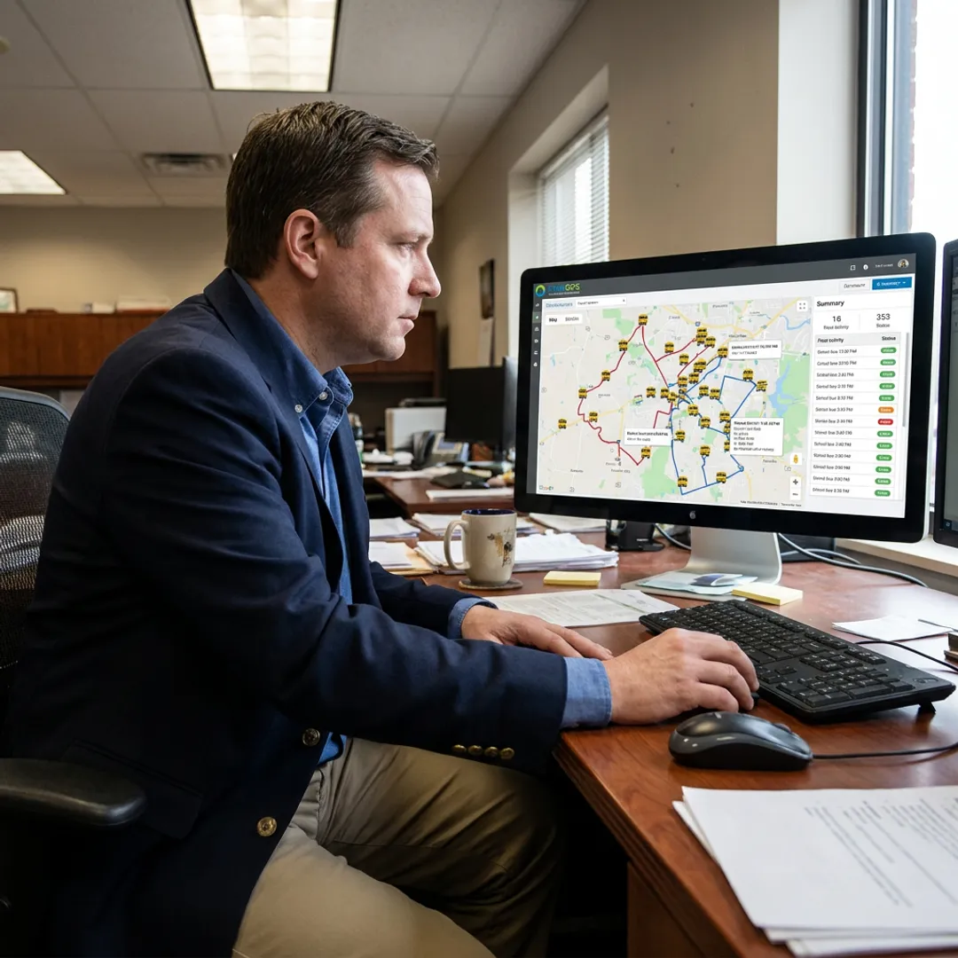
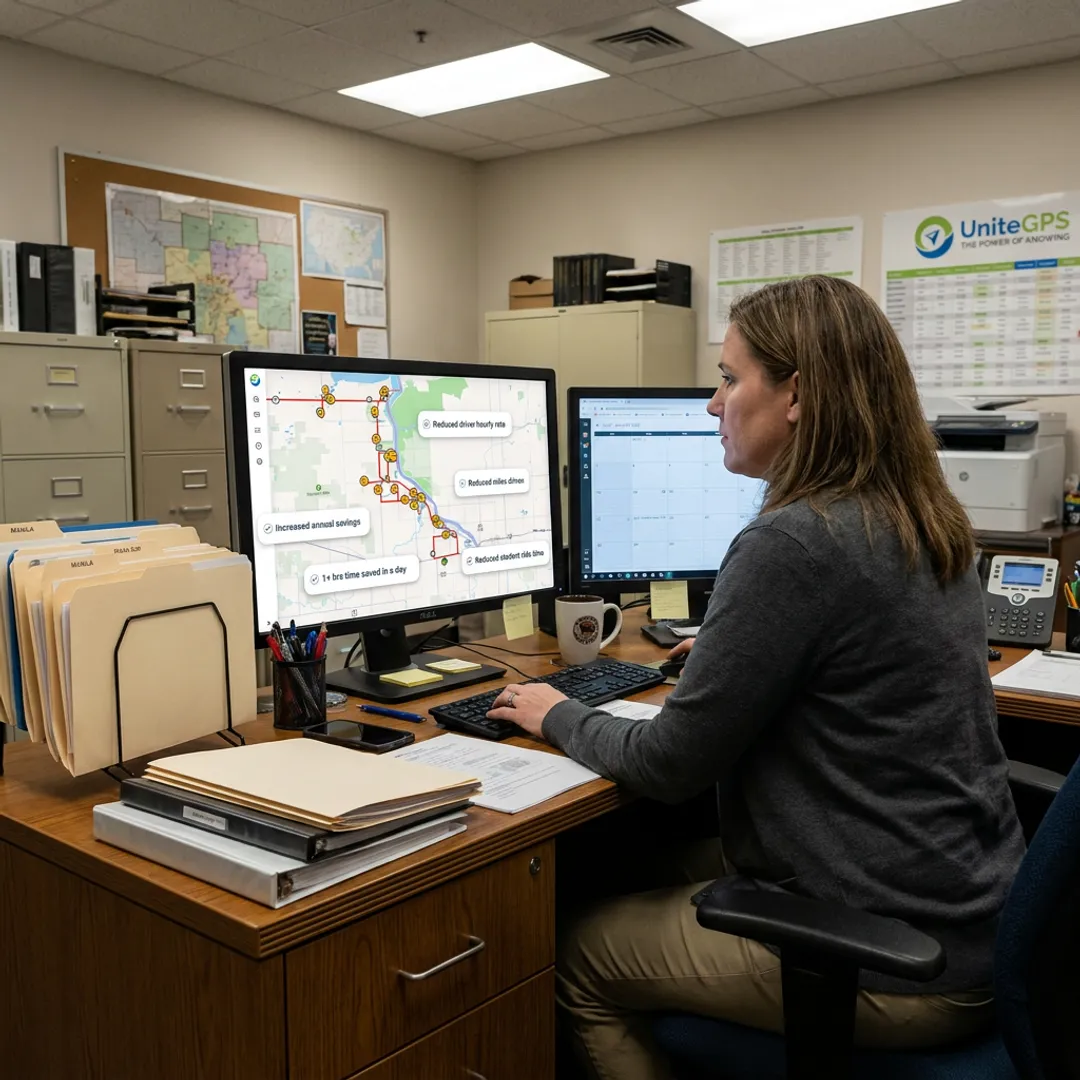
Turn student enrollment data into efficient bus routes, stop assignments, rosters, and printable route sheets that reduce manual planning and help districts make better routing decisions.
Learn More →
UniteGPS helps K-12 transportation teams replace paper maps, spreadsheets, and one person’s memory with dependable school bus route planning and mapping software. Build efficient routes from student enrollment data, print route sheets, sync SIS updates, and add GPS tracking or driver tablets as your district grows—with free 90-day setup and routes built for you nationwide.
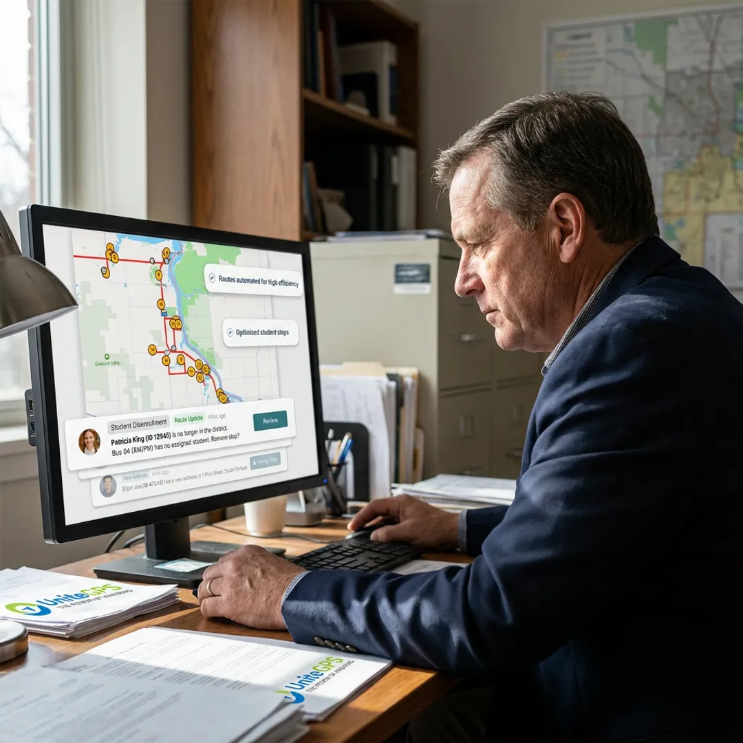
Plan, map, optimize, track, and support school transportation routes from one integrated UniteGPS platform.
Turn student enrollment data into efficient bus routes, stop assignments, rosters, and printable route sheets that reduce manual planning and help districts make better routing decisions.
Learn More →Get the core routing platform for districts replacing paper maps, spreadsheets, Google Maps, or one person’s memory with structured routing, route sheets, parent communication, field trips, and support.
Learn More →Sync student information system data directly into routing and ridership tools, reducing manual roster updates when students move, change schools, or need revised transportation assignments.
Add live GPS visibility with five-second updates, mileage tracking, geofence alerts, speeding and idle notifications, performance analytics, and a basic real-time parent app.
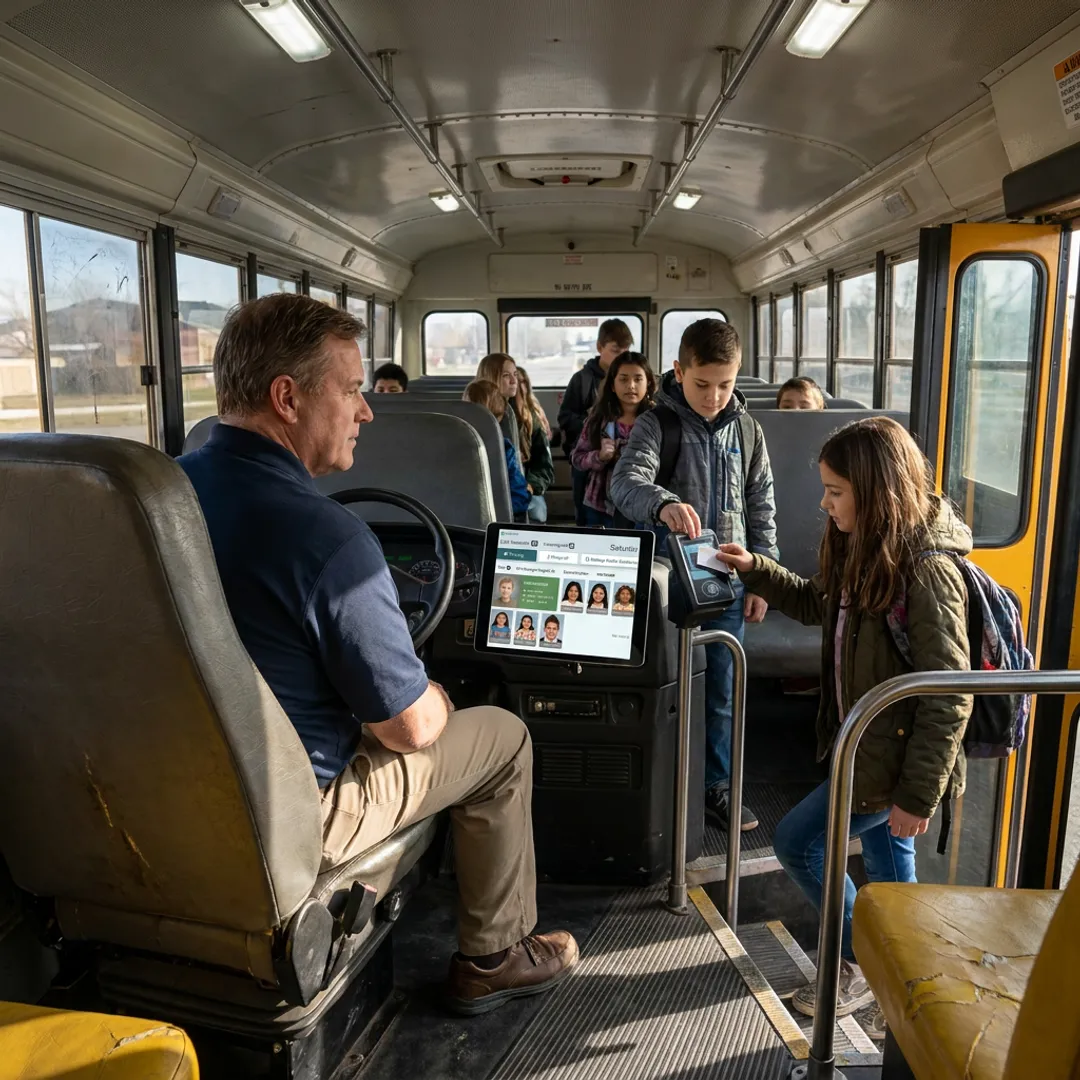
Learn More →Equip drivers with onboard tablets for turn-by-turn school bus navigation, ridership scanning, inspections, mileage categorization, and advanced parent notifications from the same platform.
Learn More →Request a hands-on optimization study from the UniteGPS team, including route analysis, a documented savings plan, and an independent outside assessment for board review.
Learn More →Start by sharing student enrollment, school, stop, and fleet information. UniteGPS helps organize the data into a usable routing foundation, so your team is not forced to rebuild routes manually from spreadsheets or outdated maps.
The UniteGPS team helps build and configure efficient routes during the free 90-day setup period. Routes can include stop assignments, bus rosters, mapping views, and printable route sheets your transportation office can actually use.
Keep routing data aligned with your district’s authoritative student information source through SIS integration. When enrollment or student transportation details change, your routes and records can stay more current with less manual data entry.
As your operation grows, add real-time GPS tracking, parent bus visibility, driver tablets, turn-by-turn navigation, ridership tracking, inspections, and IEP/Medicaid documentation through UniteGPS tiers without switching platforms.
See why K-12 districts trust UniteGPS to simplify routing, visibility, safety, and transportation operations.
UniteGPS combines practical routing tools with responsive support and a district-first product philosophy.
Built to protect student transportation records and support district data privacy expectations.
Built to protect student transportation records and support district data privacy expectations.
Get unlimited live support from a customer-focused team, without ticket queues or outsourced runaround.
Over 100 districts nationwide use UniteGPS to improve routing, tracking, safety, and communication.
Founder-led and bootstrapped, with product decisions driven by customer needs instead of investor pressure.
Founder-led transportation software built with real district feedback.

Co-Founder
Christopher Bunnell is a Co-Founder of UniteGPS, the company he helped launch in 2014 after watching his own children wait in the freezing Maine winter for a school bus with no arrival information. Driven by that firsthand frustration, Chris partnered with Steve C. Lanning and Steven J. Lanning to build a real-time GPS tracking solution that gave families the visibility they deserved. Before UniteGPS, Chris served as the on-site client representative in Baltimore for a Centers for Medicare and Medicaid Services project, while the technical team operated remotely from California. At UniteGPS, Chris has led client relationships and stakeholder engagement since day one, ensuring the platform continues to solve real problems for school districts and transit agencies nationwide.

Co-Founder
Steve C. Lanning is a Co-Founder of UniteGPS, bringing deep database architecture and enterprise-level technical expertise to the platform since its founding in 2014. Steve previously served as an Oracle database administrator on a Centers for Medicare and Medicaid Services project at the San Diego Supercomputer Center at UC San Diego, where he first collaborated with Chris Bunnell. In the early years of UniteGPS, Steve balanced the project alongside other professional commitments until growing client traction made it a full-time pursuit. His database expertise has been instrumental in building a reliable, scalable platform that now serves over 100 school districts nationwide, supporting everything from route optimization to student ridership tracking and SIS data integration.

Co-Founder
Steven J. Lanning is a Co-Founder of UniteGPS and the primary architect behind the Crosswalk platform, which he has built and continuously refined since the company's founding in 2014. Steven began his career on the same Centers for Medicare and Medicaid Services project as his co-founders, focusing on solution quality assurance and software testing for production readiness while simultaneously pursuing formal software development training. When UniteGPS launched, Steven committed full-time to product development, translating real feedback from transportation directors and drivers into practical platform features. His customer-driven approach to engineering has helped UniteGPS grow into a fully integrated transportation management solution trusted by K-12 districts and transit agencies across the United States.
UniteGPS turns student enrollment data into efficient bus routes, rosters, stop assignments, and printable route sheets. Instead of relying on paper maps, Google Maps, or institutional memory, transportation teams get a structured routing system built for K-12 operations. The platform can also connect with GPS tracking, parent communication, driver tablets, ridership tracking, and SIS integration as your district’s needs grow.
Yes. UniteGPS includes automated route optimization that helps districts identify more efficient route patterns, reduce unnecessary mileage, and save staff time. The platform can generate usable routes from student data, and UniteGPS also offers a free professional Route Optimizer service that provides a hands-on optimization study, documented savings plan, and outside assessment for board-level review.
UniteGPS is designed to replace general mapping tools with a real transportation routing system. Google Maps can show directions, but it does not manage student rosters, bus eligibility, stop assignments, route sheets, SIS updates, parent communication, or district-specific transportation records. UniteGPS keeps routing data organized, repeatable, and easier for transportation teams to maintain over time.
UniteGPS includes free 90-day setup with routes built for you. During onboarding, the team helps configure the routing system, import student and fleet data, and set up integrations where applicable. This approach reduces the burden on busy transportation departments and helps districts move from manual routing processes to a working system without starting from scratch.
Yes. SIS integration is included in every UniteGPS tier at no additional charge. The system can sync student enrollment information directly into routing and ridership tools, helping reduce manual roster uploads and repeated data entry when students move, change schools, or require updated transportation assignments. Integration setup is handled during the free onboarding process.
Yes. Districts can add real-time GPS tracking through UniteGPS Tier 2, which updates every five seconds and includes mileage tracking, geofence alerts, speeding and idle alerts, performance analytics, and a basic parent app. GPS tracking helps transportation teams answer location questions quickly, monitor fleet activity, and reduce disputes with timestamped operational data.
Pricing depends on the tier and fleet size. Routing Essentials starts at $49 per month for 1–5 buses, $98 per month for 6–15 buses, and $196 per month for 16+ buses. GPS Tracking & Routing is $25 per bus per month. Tablet Suite software is $39 per bus per month, with additional tablet data plan and hardware costs.
UniteGPS is built for K-12 school districts nationwide, including small, medium, and larger transportation operations. The pricing structure supports fleets as small as 1–5 buses, while the platform can expand into GPS tracking, driver tablets, ridership tracking, inspections, and IEP/Medicaid documentation for districts that need a more complete transportation management system.
Get clear answers from a real transportation software specialist.
Protects student transportation data and education records.
Trusted by districts across the United States.

Protects student transportation data and education records.
Trusted by districts across the United States.
Founder-led and built for long-term partnerships.