
Attendance boundaries don't just decide which building a student walks into. They decide bus routes, ride times, and how many buses your district needs to buy or staff next year. Get the boundary wrong, and transportation pays for it — literally and logistically.
This article covers the data districts need, a practical planning framework, safety rules for stop placement, and how the right software keeps boundary decisions from turning into operational surprises.
Key Takeaways
- Boundary changes reshape bus routes, stop locations, and ride-time compliance, so plan them together rather than separately
- Data-driven boundary reviews cut transportation costs and community pushback
- Syncing routing software with boundary decisions before finalization prevents expensive post-approval fixes
- Grandfathering and clear communication reduce the flood of parent complaints that follow any boundary shift
What Is Attendance Boundary Planning and Why Transportation Matters
Attendance boundary planning is the process of assigning students to schools based on geographic zones. Districts revisit these zones when enrollment shifts, a new school opens, or an existing one closes.
Transportation is often treated as an afterthought, something to sort out after the map is drawn. That's backward. Boundaries determine ride demand; routing determines whether that demand can actually be served safely and on time.
Common triggers for a boundary review:
- New school openings that require redrawing feeder zones
- School closures that redistribute students to neighboring buildings
- Enrollment growth or decline that shifts capacity needs
- Equity or demographic balancing goals
There's no single national percentage that tells you whether a boundary change raises or lowers transportation costs. It depends entirely on the scenario.
Montgomery County Public Schools warns that boundary changes can require additional buses and drivers, longer rides, or service adjustments. Other districts cite reducing excessive ride times as a specific goal. The honest approach: model the cost impact for your boundary options, not a generic industry average.
Why Transportation Must Be Part of the Boundary Conversation Early
Boundaries drawn purely on enrollment lines, without routing input, often create long ride times, overlapping bus routes, or stops placed on unsafe roads. Districts that model transportation impact while drafting boundaries, not after adopting them, avoid the expensive route redesigns that come from realizing too late that a "clean" map creates a routing nightmare.
Key Data Points for Aligning Boundaries with Bus Routes
Good boundary decisions run on data, not guesswork. Before finalizing any scenario, districts should compile:
- Geocoded student addresses and projected enrollment by neighborhood
- Existing bus stop locations, ridership counts, and current route mileage/time
- District ride-time policies and walk-zone distances (these vary widely by district)
- Physical barriers (highways, rail lines, rivers) that make geographically close areas practically unroutable
- Special education and program transportation needs that must survive any boundary redraw
Technology adoption varies. A 2026 School Bus Fleet industry poll found 72% of transportation leaders use routing software, while 18% still rely on institutional knowledge or manual methods.
That figure is an operational snapshot, not a boundary-specific benchmark. Still, manual mapping remains common enough to cause real problems when boundaries shift overnight.
A Step-by-Step Framework for Boundary and Transportation Planning
Treat boundary design and bus routing as one project from the start. Districts that run them in parallel avoid redraws, overtime, and public pushback later.
1. Form a mixed-function committee. Include the transportation director alongside academic staff from day one. Set evaluation criteria (ride times, cost, equity) before drawing a single line.
2. Model boundary scenarios and draft routes in parallel. For each proposed map, sketch corresponding bus routes to test whether the boundary is actually serviceable, not just geographically tidy.
3. Calculate cost, mileage, and ride-time impact for finalist scenarios. Present this alongside enrollment numbers before public meetings, not after a decision is already politically baked in.
4. Finalize boundaries only after transportation logistics check out. Then update stop placements, driver assignments, and route sheets.

After boundaries lock, the next risk is data lag. Syncing the new map with your Student Information System keeps routing and ridership accurate when hundreds of students move.
UniteGPS's Crosswalk platform integrates with PowerSchool, Skyward, and Infinite Campus, pulling enrollment and address changes directly into routing and ridership tracking. That cuts the manual re-entry errors that show up when a transportation office hand-keys reassigned students into new route sheets.

Safety and Bus Stop Placement Within New Boundaries
Every new boundary shifts some students onto roads and neighborhoods that weren't part of the old routing map. That means every affected stop needs a fresh safety check.
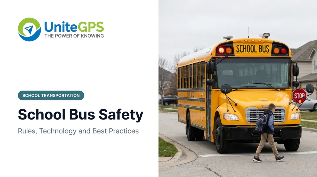
NHTSA defines the school bus "danger zone" as 10 feet on each side of a stopped bus, the area where a driver's visibility is most limited. Screen any new stop location against this buffer before adding it to a route.
Stop placement rules beyond that vary by state. North Carolina, for example:
- Sets a 1.5-mile eligibility threshold for bus transportation
- Requires routes to pass within one mile of an eligible student's residence
- Applies a 0.2-mile minimum spacing between stops under State Board policy, unless safety factors require otherwise
Don't assume these numbers apply outside North Carolina. Confirm your own state's rules. One requirement applies everywhere: reassess every existing stop against the danger-zone standard whenever a boundary shifts population onto new roads.

Communicating Transportation Changes to Families
Boundary announcements get contentious fast, and transportation eligibility is usually the flashpoint: who still qualifies for a bus, and who's grandfathered in under the old rules.
Districts that handle this well do a few things consistently:
- Publish an address-lookup tool so parents can instantly check their new school, stop, and eligibility status
- State grandfathering terms clearly, including how long the exception lasts and whether busing continues during the transition
- Announce eligibility rules, deadlines, and appeal processes in the same notice as the new map, not in a follow-up email weeks later
Mesa County Valley School District 51 in Colorado, for instance, allowed grandfathered families to keep busing to their prior school for one full school year before requiring self-transportation. That kind of phased approach reduces the volume of angry calls landing on the transportation office in September.
How the Right Technology Bridges Boundary Planning and Daily Operations
Adopting a new boundary map is the easy part. The real test is whether your transportation system can execute it smoothly the following semester: routes built, stops confirmed, drivers assigned, and parents informed before the first day back.
This is where SIS synchronization earns its keep. Because UniteGPS pulls enrollment data directly from PowerSchool, Skyward, or Infinite Campus, a student's new school assignment flows into routing without anyone manually re-entering an address or eligibility flag.
During a boundary transition, these capabilities matter most:
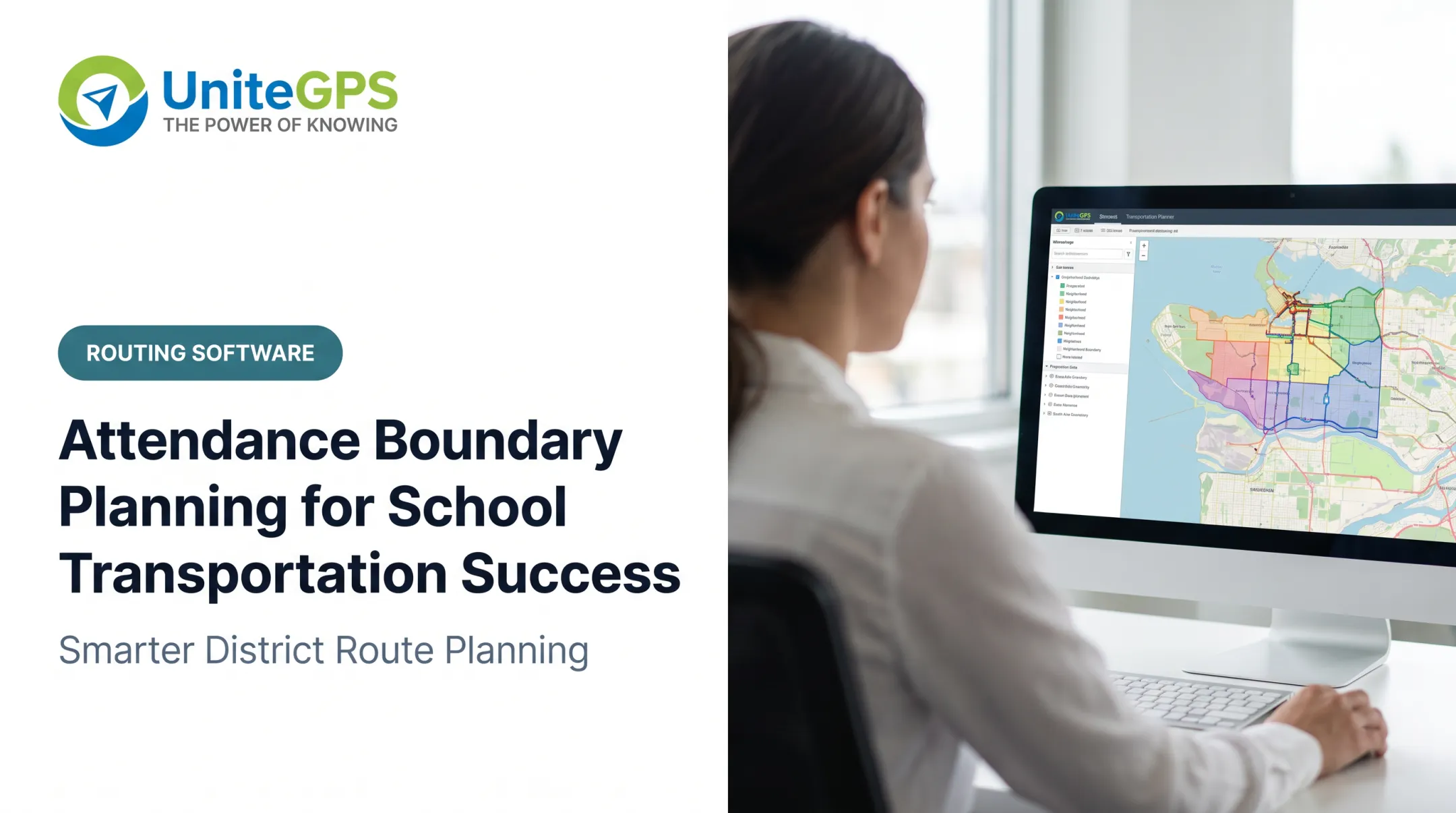
- Zone Creation & District Mapping lets districts visualize new attendance zones against student residences before committing to a final map
- **Real-time GPS tracking and the parent app** cut down the "where's my child's bus" call volume that spikes any time stops or routes change
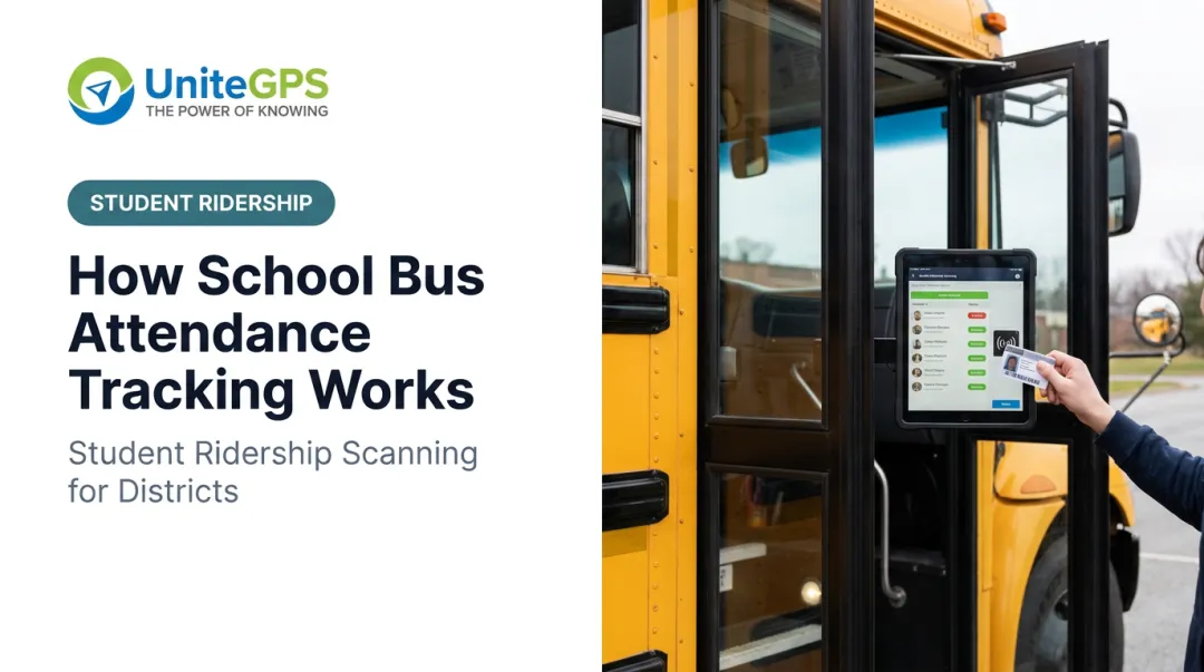
- Ridership tracking uses barcode boarding scans to confirm students board at newly assigned stops and flags plan-versus-reality mismatches

That last point matters more than districts expect. A boundary map can look perfect on paper and still fall apart once real families start (or don't start) showing up at their assigned stops. Timestamped scan data helps transportation staff catch that early—not three months into the school year.
Frequently Asked Questions
How many feet is the danger zone around a school bus?
NHTSA defines it as 10 feet on all sides of a stopped school bus, marking the area where driver visibility is most limited. This matters directly for stop placement. Any new stop created after a boundary change should be checked against this buffer.
What are the requirements for school bus stops in North Carolina?
North Carolina sets a 1.5-mile eligibility distance, a one-mile route-proximity rule, and a 0.2-mile minimum stop spacing under state policy. Sightline and road-width rules are handled separately by district procedure. Confirm specifics with your state transportation office.
How long does a school district boundary review typically take?
Six to twelve months is a reasonable planning window when transportation modeling starts early. Baltimore County Public Schools, for example, runs its new-school boundary process on roughly a one-year timeline.
What is grandfathering in relation to bus transportation eligibility?
Grandfathering lets currently enrolled students keep their existing school and bus route despite a boundary change, usually for a limited transition period rather than indefinitely.
How often should districts reassess bus routes after a boundary change?
Review routes each semester during the first year after a change. Ridership patterns often look different once families actually start using new stops.
Can boundary planning software also generate bus routes?
Platforms with integrated zone mapping and routing tools let districts evaluate boundary scenarios visually, then build draft routes and rosters from the same map. That cuts handoff time before final adoption.