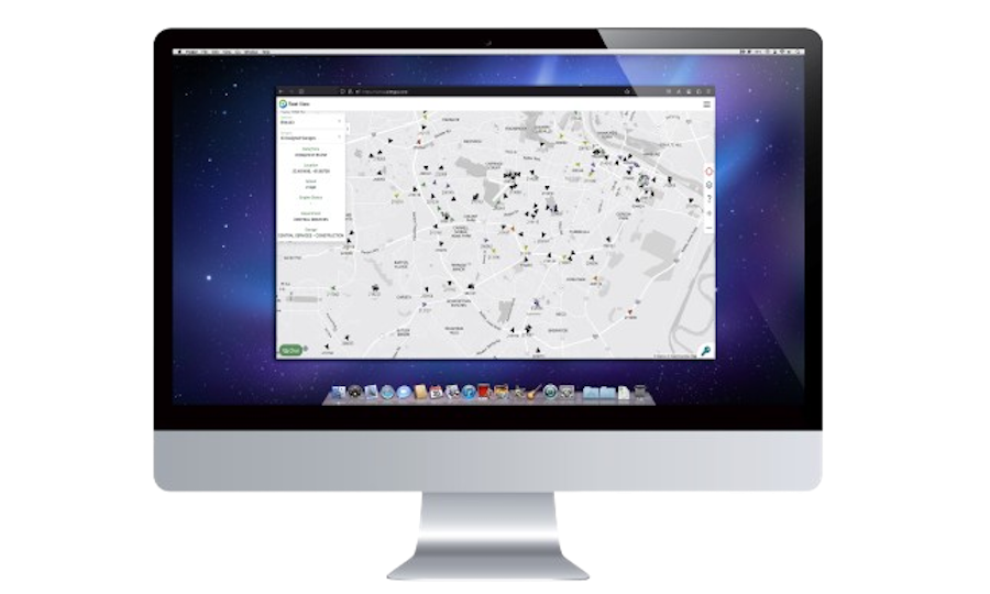
NEAREST OFFICER LOCATOR
PatrolGPS's nearest officer locator identifies the closest available units to any emergency,
enabling quicker response times and greater operational efficiency. Our system calculates
optimal routes considering traffic and road conditions, while automatically updating
unit availability status to ensure the most effective deployment of resources.
Proximity Detection
- Instantly identify the closest units to any emergency location
- Filter units based on availability, equipment, and officer specializations
- View distance and estimated arrival time for each potential responding unit
Smart Routing
- Calculate optimal routes considering real-time traffic conditions
- Account for road closures, construction zones, and other obstacles
- Provide turn-by-turn navigation directly to officers' mobile devices
Availability Management
- Automatically track and update unit status and availability in real-time
- Prioritize officers based on current workload and recent activity
- Maintain balanced coverage across your jurisdiction with smart deployment
Benefits of Nearest Officer Locator
- Dramatically reduced response times to emergency calls
- Improved officer and public safety through faster incident handling
- More efficient use of limited law enforcement resources
- Enhanced jurisdictional coverage with intelligent unit distribution
- Reduced fuel consumption and vehicle wear through optimized routing
- Greater transparency and accountability in emergency response
Advanced Locator Features
Officer Specialization Matching
Match emergency calls with officers who have relevant specialized training or equipment. When domestic violence calls come in, officers with special training are prioritized, ensuring the most appropriate response for each situation.
Predictive Deployment
Utilize historical call data to optimize patrol distribution. The system analyzes past emergency patterns and suggests optimal positioning of units during different times of day and days of the week, ensuring resources are in the right place before calls come in.
Cross-Jurisdictional Response
Coordinate with neighboring agencies during major incidents. When appropriate, the system can identify and recommend mutual aid resources from adjacent jurisdictions, displaying their positions and estimated arrival times alongside your own units.
Response Analytics
Generate comprehensive reports on response times across your jurisdiction. Identify areas for improvement with detailed heat maps showing response time variations by location, time of day, and incident type, helping to further optimize your patrol strategy.
Simple Implementation Process
1. Jurisdiction Mapping
Detailed mapping of your patrol area with key landmarks and zone definitions
2. System Installation
Quick setup of tracking devices and software in patrol vehicles
3. Staff Training
Comprehensive training for officers and dispatch personnel
4. Ongoing Support
24/7 technical assistance and regular system updates
Ready to enhance your emergency response capabilities?
Schedule a demo to see how our Nearest Officer Locator system can help reduce response times, improve operational efficiency, and enhance officer deployment throughout your jurisdiction.